
Embrace the Journey
Good to know
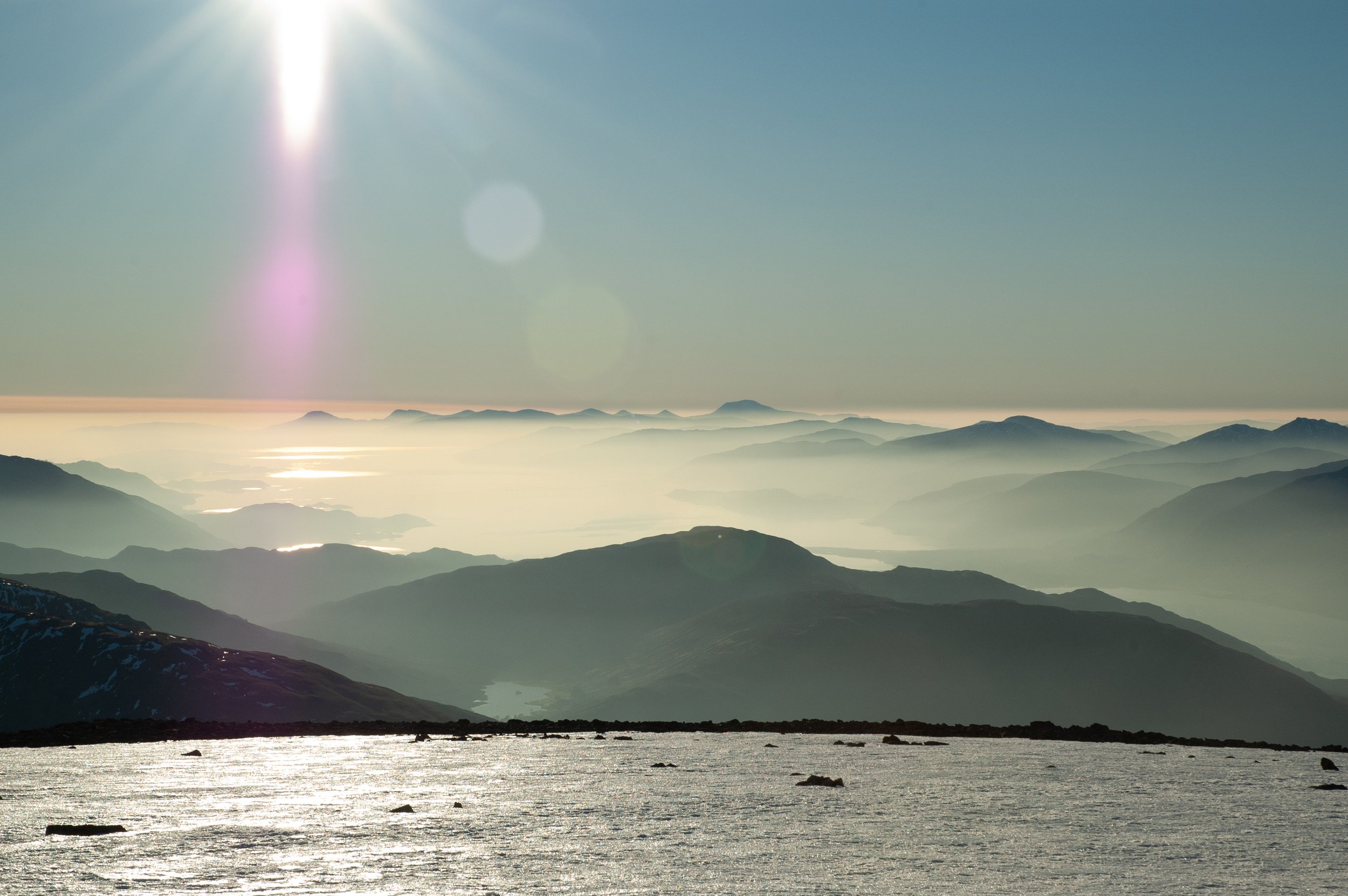
Ben Nevis is 1345m (4413ft), making it the highest mountain in the UK. Most visitors (around 160,000 each year) climb Ben Nevis using the path accessed from The Ben Nevis Visitor Centre in Glen Nevis. This is sometimes referred to as the Tourist Path or Pony Track but it is now referred to as The Mountain Track so as not to lull visitors into a false sense of security. This track reaches the summit via a series of zigzags up the western face of the mountain. The lower half and North Face are owned by Jahama Estates and the top half is owned by The John Muir Trust. The Ben sits in the Ben Nevis and Glencoe Scenic Area, and Ben Nevis and large parts of the Glen are deemed a Site of Special Scientific Interest (SSSI).
Ben Nevis is a translation of the Scottish Gaelic name Beinn Nibheis. Beinn is a common Gaelic word for mountain, Nibheis is usually translated as malicious or venomous. An alternative interpretation is that Beinn Nibheis derives from beinn nèamh-bhathais, clouds and top of a man’s head, and translated as The mountain with its head in the clouds. Either could be right.
Planning
The distance from The Ben Nevis Visitor Centre to the summit and back is roughly 16km (10 miles) and will take, on average 8 hours total, sometimes longer. Most accidents occur coming down the mountain as fatigue has set in and it is just as arduous on the way down as on the way up. Poles can be useful to protect your knees.
Always leave a note with someone about your route and when you expect to be back - and check in with them when you are off the hill!
The weather can be changeable and expect it to be much colder at the summit - a 10° difference is usual in summer.
Layering is key to an enjoyable day on the hill and to regulate your temperature. Take spare layers and waterproof jacket/trousers. If you buy new boots or approach shoes, break them in first. For the love of all that is good on this earth, do not wear jeans and/or sandals.
Take sufficient food and water for you. Two litres in summer is a good starting point.
Minimise your impact. Buy a Go Anywhere Waste Kit Bag and learn how to use it. You can read the Scottish Outdoor Access Code here. Do not build cairns or leave any objects or ashes on the hill. Help to protect the fragile montane habitat by staying on the path. The top half of the path is maintained by The John Muir Trust and the lower half is overseen by The Nevis Landscape Partnership.
Weather
There should be a weather report posted at The Ben Nevis Visitor Centre but it is always prudent to check the forecast before you set off from your accommodation at the very least. The best weather forecast to use is from The Mountain Weather Information Service. If you are unsure how to interpret a forecast, ask inside the visitor centre. You can see a webcam of the North Face here.
In winter and spring, it is also worth checking the Scottish Avalanche Information Service forecast.
Kit list
-
Warm, comfortable trekking trousers
Thermal base layer top
Warm mid layer top
Warm fleece jacket
Thick walking socks
Walking boots
-
Water and wind proof trousers, and jacket with hood
Spare warm clothing
Warm hat and gloves
Waste kit bag
First Aid kit (including blister packs)
Survival bag /emergency shelter
Food and water
Compass and waterproof map
Whistle
Watch
Head torch
Rubbish bag
-
In hot weather - additional water, sun cream, sun hat, sunglasses
Mobile phone, GPS, camera