
 Image 1 of 4
 Image 2 of 4
 Image 3 of 4
 Image 4 of 4
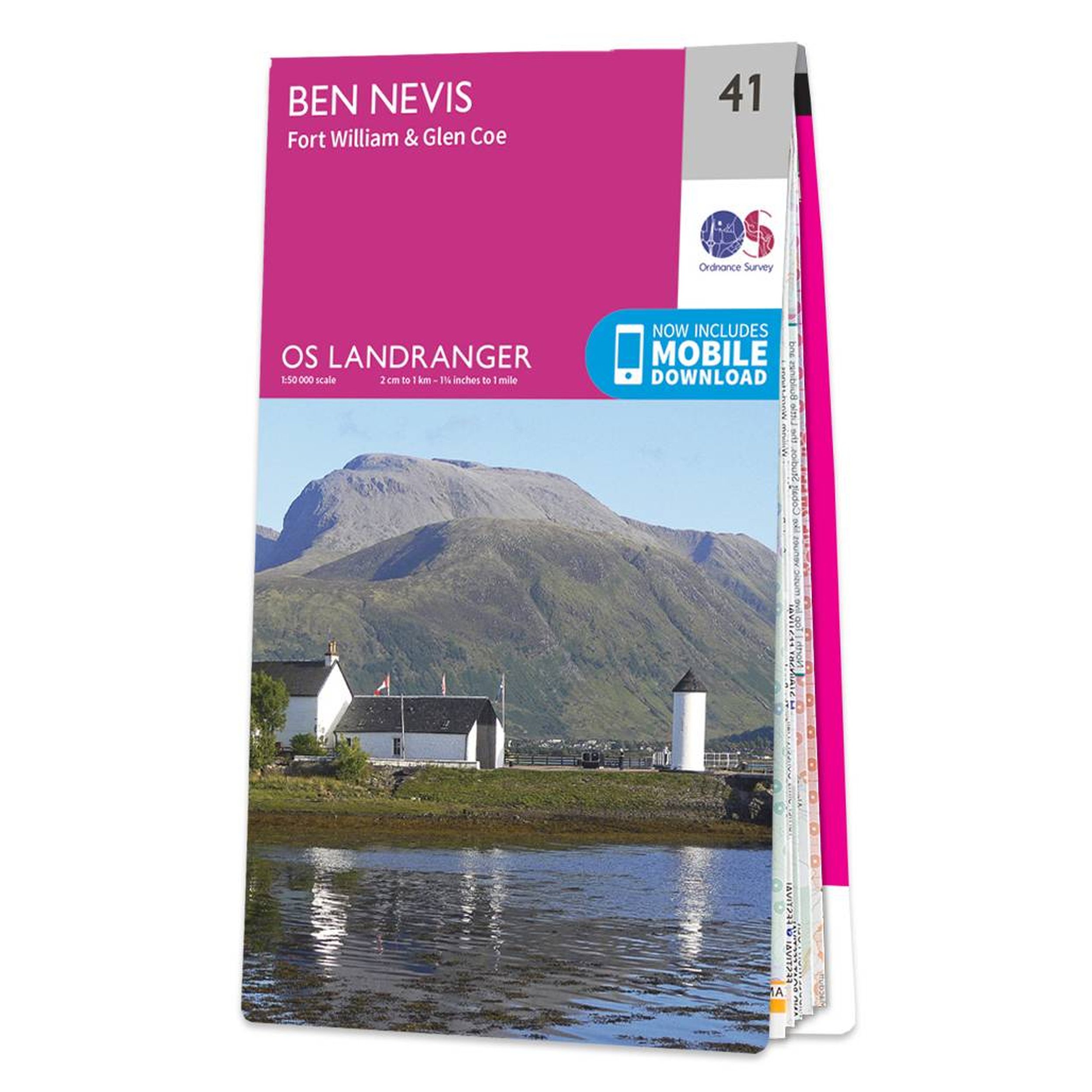
The Landranger map of Ben Nevis (including Fort William & Glen Coe) is a must-have for your next trip to the area.
The area is famous for its challenging walks paid off by spectacular views. Explore Glen Coe, full of dramatic scenery due to the glen's volcanic origins.
Some other major highlights are: Loch Treig, Glen Roy, Spean Bridge, and of course Ben Nevis.
Ben Nevis is the highest peak in Britain at 1,345m, taking on average 7-9 hours to reach its summit.
You can also ride the Nevis Mountain Range Gondola, the only of its kind in the Britain, reaching heights of 650m — allowing you to effortlessly enjoy the beautiful mountain range.
This Landranger map comes in a laminated option (Active Map).
Publication Date: 01/03/2021
1:50 000 scale
2cm to 1km - 1¼ inches to 1 mile